A Resource for the Protected Areas Database of the United States (PAD-US)

Uses

Regional Conservation Partnership in Chattanooga Guides Growth

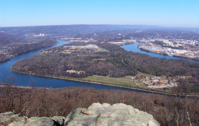
Photo of Chattanooga

Thrive Regional Partnership inspires responsible growth through conversation, connection, and collaboration in the tri-state greater Chattanooga region. Thrive has formed the Natural Treasures Alliance, a collective of land trusts, watershed conservancies, outdoor recreation groups, and other organizations dedicated to long-term…

Read more

Forest Visitor Maps Developed with PAD-US

The U.S. Forest Service (USFS) manages huge areas of landscapes in our National Forest System. To support the mapping for these areas, particularly for visitor support, USGS manages FSTopo, their data and map production system. FSTopo takes advantage of PAD-US…

Read more

Congressional Research Service Uses PAD-US

US Capitol Photo

PAD-US provides information for researchers in the federal government, including the the Congressional Research Service (CRS). CRS is a federal legislative branch agency under the Library of Congress, providing bipartisan support to U.S. representatives, senators, and committees through reports, briefings,…

Read more