UPDATE: For the most recent edition of the Base Maps memo, visit the Federal Lands Working Group website and view the PDF document noted in the right column (the memo is regularly updated).
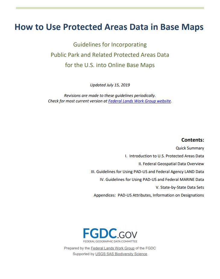
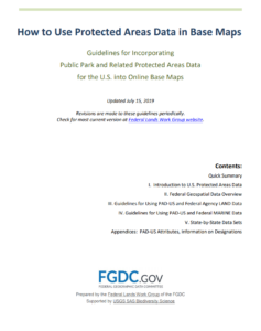
After months of development and review through the Federal Lands Working Group, July 2019 brought the first edition of technical guidance on how to use PAD-US and federal managing agencies’ protected areas data, aimed primarily at those working on web base maps (but also useful for others).
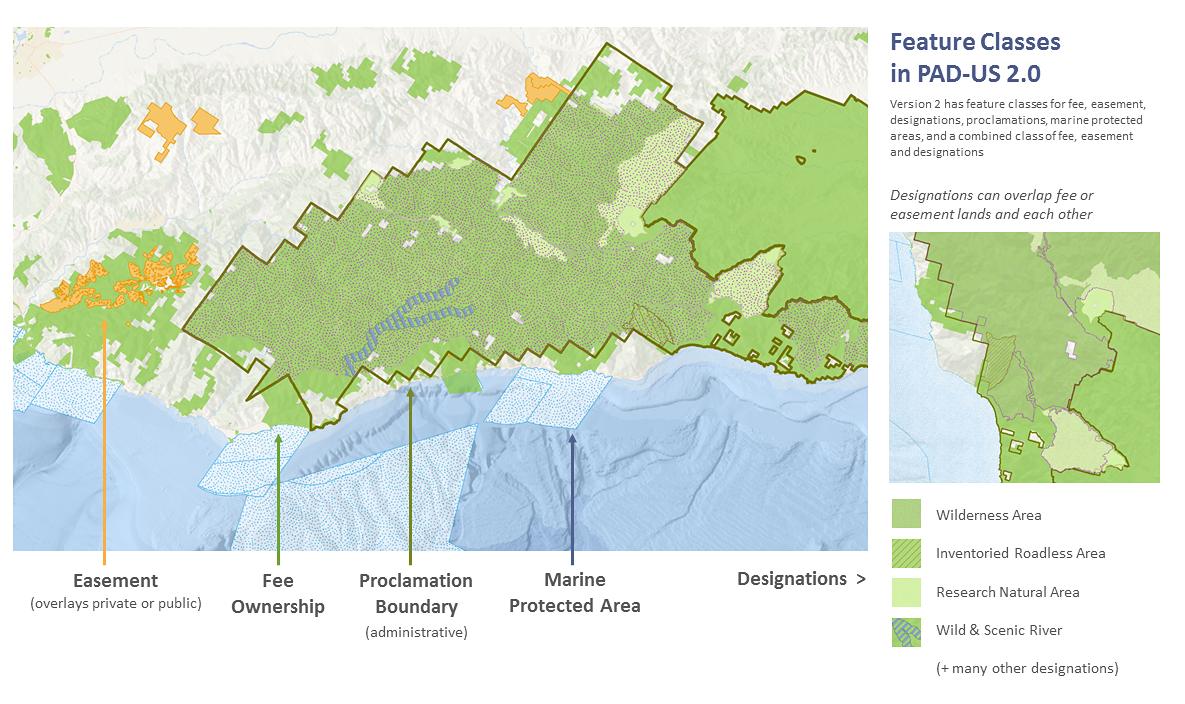
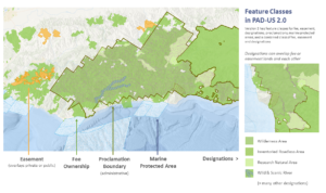
Called How to Use Protected Areas Data in Base Maps – Guidelines for Incorporating Public Park and Related Protected Areas Data for the U.S. into Online Base Maps, the paper explains the nature of protected areas data, how federal agency data is managed, and overall caveats about uses. For PAD-US and for each of eight federal land/water managing agencies (plus the Census Bureau), data sets are described, guidelines noted, and sources and contacts indicated. This information includes the Marine area managing agencies, BOEM and NOAA, as well as all the land managers (BLM, USFS, NPS, FWS, etc.).
The PAD-US team, including USGS staff and GreenInfo Network, developed the guidance draft, bringing into one place much information that was previously only available by finding multiple information sources. Each federal agency then reviewed their summaries and provided the most current contact and data access information.
A number of web map developers, including Esri, Google, as well as recreation map developers, and even the USGS National Map team are putting this information to good use, as the work to incorporate the newly released PAD-US 2.0 into their web products.
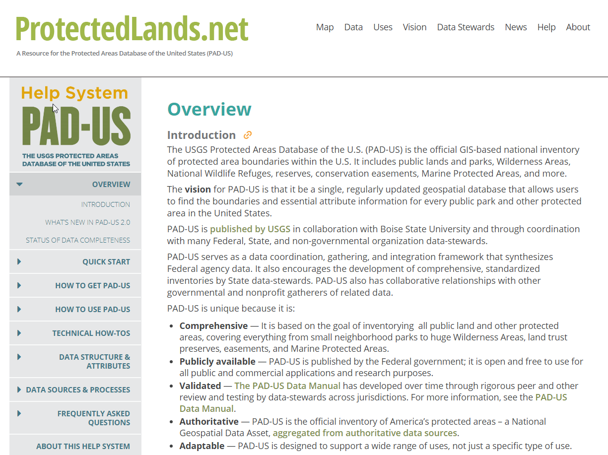
Related to the memo is the recently published PAD-US Help system, available at www.protectedlands.net/help – learn more here.
Read more