PAD-US Vision
A single, continuously-updated geospatial database that allows users to find exact boundaries and essential attribute information for every public park and other protected area in the United States.
This is the vision for PAD-US – the official national inventory of protected areas.
PAD-US includes all areas held in public trust (public lands managed by agencies, preserves owned by nonprofits or private lands protected via conservation easement) in the United States. It serves many types of users and is developed through partnerships with states, among federal agencies and with national nonprofit organizations.
See our current status for completion of PAD-US at the federal and state levels »
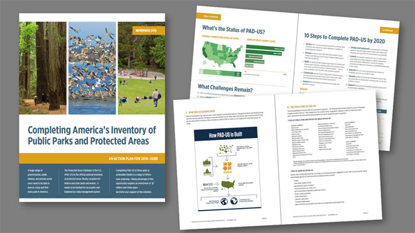
A recent report provides an action plan for completing PAD-US by 2020 and explains how the data set serves many different types of users. The report, Completing America’s Inventory of Public Parks and Protected Areas, is available as:
|
 |
These documents were prepared for the U.S. Geological Survey (Gap Analysis Project) by GreenInfo Network and the Great Basin Cooperative Ecosystem Studies Unit at Boise State University in a project that was supported in part through an interagency agreement with the Centers for Disease Control and Prevention (U.S. Department of Health and Human Services) and the National Park Service (U.S. Department of the Interior).
The original PAD-US vision strategy document, prepared in 2009 and used to guide PAD-US development previously, is also still available – download report, A Map for the Future (PDF, 1.8 mb) »
General Background on PAD-US System
The PAD-US system consists of technology, standards and a collaborative organization:
1. As technology, PAD-US has been called “the most complex, yet intelligently designed, database of its kind” – it’s a powerful tool for a broad range of applications. Built with the intention of serving the conservation, outdoor recreation, public health and other user communities, PAD-US uses evolve in unexpected ways (for example, it has recently become part of the Department of the Interior’s National Wildfire Coordinating Group tool kit). PAD-US has been certified as a U.S. Government A-16 data set within the Cadastral theme.
2. As a data standard, PAD-US provides a robust and dynamic framework to coordinate information and people. This coordination function serves public interest, along with its tangible data products. For example, PAD-US is helping states improve their own data frameworks by providing a consistent standard for core attributes and domain values.
3. As a product of a collaborative organizations, PAD-US reflects the various perspectives and expertise of contributors and stakeholders. Recent PAD-US design changes reflect an extensive program of collaboration among federal agencies – the USGS Gap Analysis Project has helped support the FGDC Federal Lands Working Group, which consists of geospatial professionals from land management and other related federal agencies. The Federal Lands Working Group has documented the translation of federal agency source data into the PAD-US schema to power data aggregation scripts that increase the efficiency of updates. Working groups also exist for State Data Stewards and for Nonprofit Data Stewards (download PDF description). In addition, PAD-US draws upon the National Conservation Easement Database (NCED) for all data on lands secured by conservation or equivalent easements.