A Resource for the Protected Areas Database of the United States (PAD-US)

Category Archives: Events

PAD-US and Fed Lands Group Presentation at Dept. of Interior

PAD-US is nearing publication of its version 2 release, which is a major improvement in coverage, structure, and quality over version 1.4. To preview the database changes and to highlight roles of federal agencies in developing this new version, the USGS PAD-US team led a briefing presentation at the Department of the Interior on July 9, 2018.

The presentation featured representatives from four of the agencies in the Federal Lands Working Group (Doug Vandegraft of Bureau of Ocean and Energy Management; Troy Warburton of the US Forest Service, Ron Salz of the US Fish & Wildlife Service and Bob Ratcliffe of the National Park Service), plus the PAD-US Coordinator, Lisa Johnson of Boise State University, a USGS Cooperator.

You can watch the hour-long presentation from the Dept. of Interior media site

or access presentation slides.

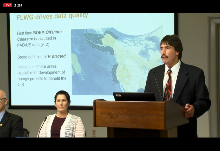
Doug Vandegraft (BOEM), FGDC Federal Lands Working Group c0-chair

Lisa Johnson (USGS Cooperator – Boise State University) Federal Lands Working Group co-chair:


The whole panel:

Lisa Johnson (USGS Cooperator), Troy Warburton (USFS), Ron Salz (FWS), Doug Vandegraft (BOEM), Bob Ratcliffe (NPS)

Read more

PAD-US Briefing for Dept. of Interior Jan. 9, 2017

The PAD-US team will hold a public briefing on January 9, 2017 for U.S. Department of the Interior staff and others, as part of the DOI Office of Policy Analysis (PPA) Seminar Series.  The event is open to the public and remote viewing is available – feel free to share this notice with your networks.

PAD-US Coordinator Lisa Johnson will lead the session, which also includes representatives from the Federal Lands Working Group discussing PAD-US as part of the National Spatial Data Infrastructure, and others talking about how PAD-US helps with wildfire response, recreation, conservation and federal agency data management.  An information flyer is available, as is a notice on the DOI website.

The presentation will be Monday, January 9th, 2017 12:15-1:45 PM Eastern Main Interior Building Rachel Carson Room, and can also be live viewed at https://www.doi.gov/events.  It will be available afterwards as a video recording at: https://www.doi.gov/ppa/seminar_series/video.


Read more

New PAD-US Website and Interactive Map

ProtectedLands.net is a supplemental website for the USGS PAD-US database, focusing on showcasing examples of how PAD-US is being used, providing tools to support PAD-US partners and demonstrating PAD-US map applications.  GreenInfo Network, a nonprofit technology support organization, created ProtectedLands.net in collaboration with the USGS Gap Analysis Project.

The original ProtectedLands.net web site was developed in 2010 to support a strategic planning process for PAD-US.  It was revamped in 2016 to support the new release of PAD-US data.


Read more