You can now access digital files for PAD-US 2.0 poster maps on the USGS PAD-US web site – use them in presentations, or print your own versions at almost size.
These custom maps for PAD-US were developed by GreenInfo Network and are available by Manager Name (specific federal agencies, generalized names for state/local agencies), Federal Manager Name (federal lands only), Public Access (whether open or not), and GAP Status (degree of biodiversity protection).
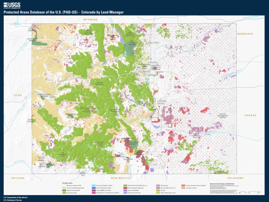
For PAD-US 2.0, new maps are also available for every state.
Provided files include smaller JPGs for presentations and simple uses, and larger PDF files for printing up to 30″x40″ sizes.
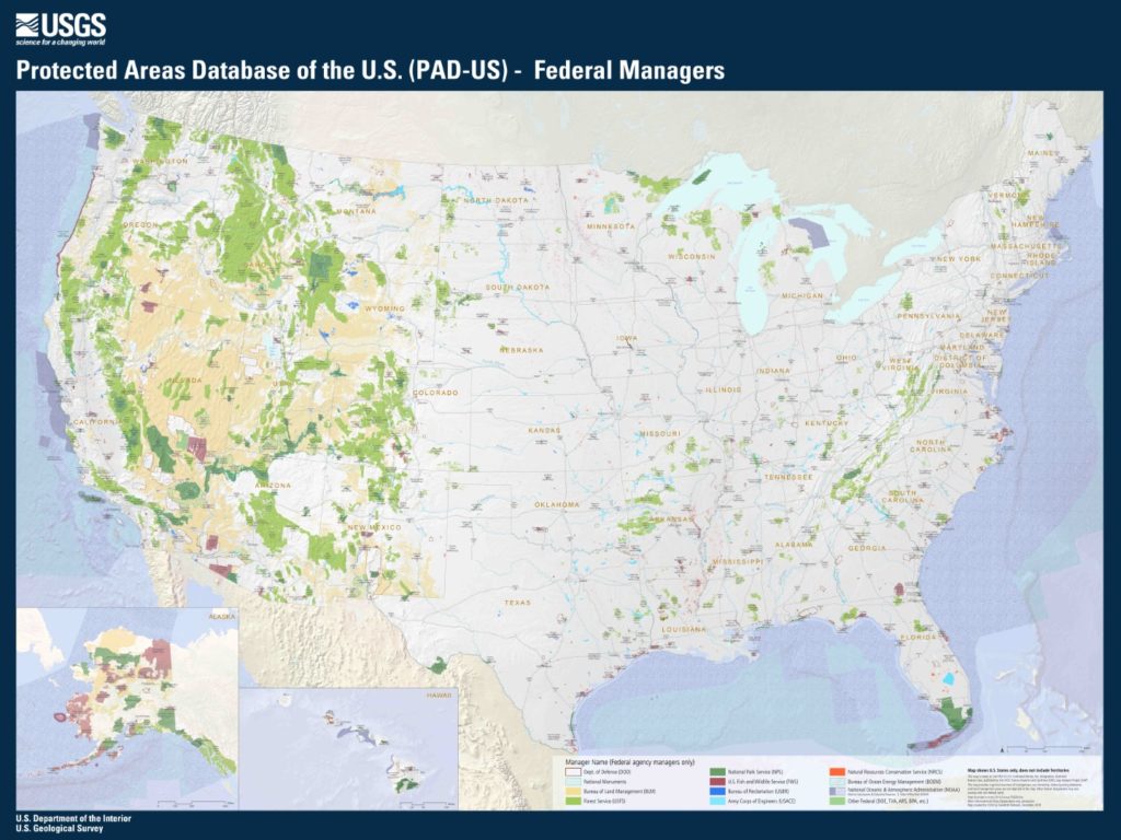
Example of a PAD-US National map (Manager Name):
Example of State map: